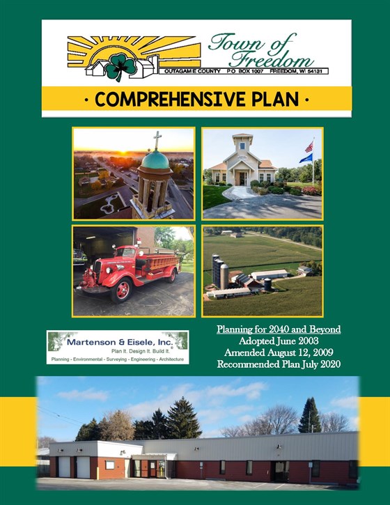
Below are the Town of Freedom Comprehensive Plan 2020-2040 and Future Land Use Map:

The Future Land Use Map shows future planned land uses for the Town as adopted in the Comprehensive Plan. The map includeds periodic updates as amendments are approved by the Town Board.
Official Town Map
The Official Street Map contains the official streets and street names for the Town of Freedom.
Outagamie County maintains the latest mapping information for the Town of Freedom. A variety of maps and tools are available through the County including information on the following: property/tax information, floodplains, PLSS, boundaries, air photos, forclosure information, election information and more.
